Log in
All resources
Create a design
183,459 Free Images of Maps With Figures
maps in the library of congress
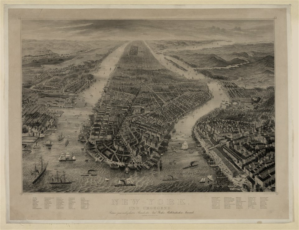
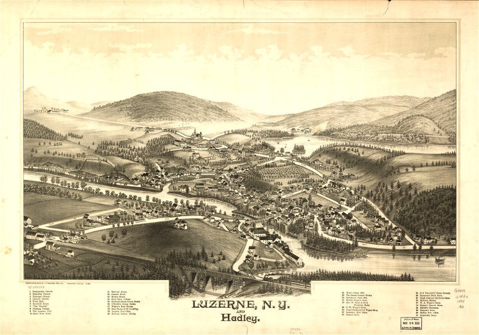
new york
l. r. burleigh
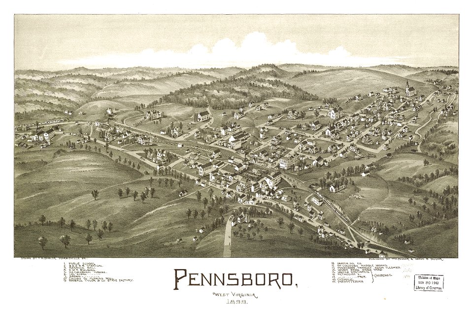
west virginia
1899 maps of west virginia
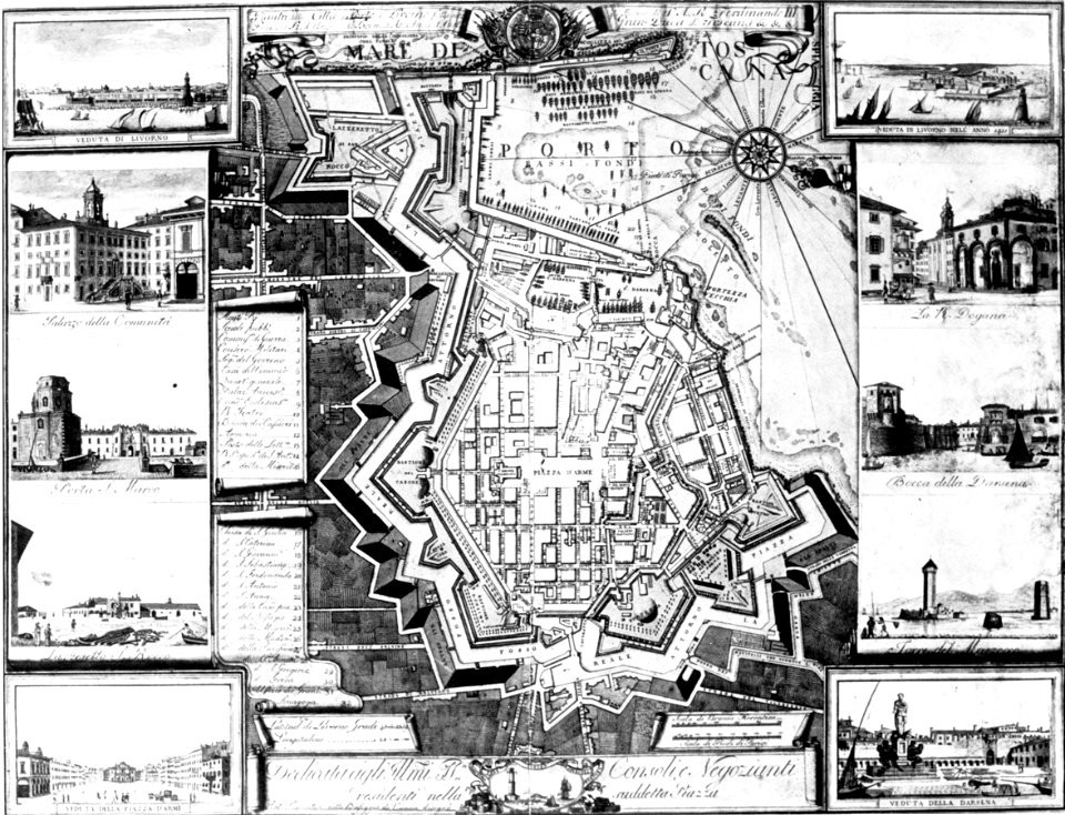
old maps of livorno
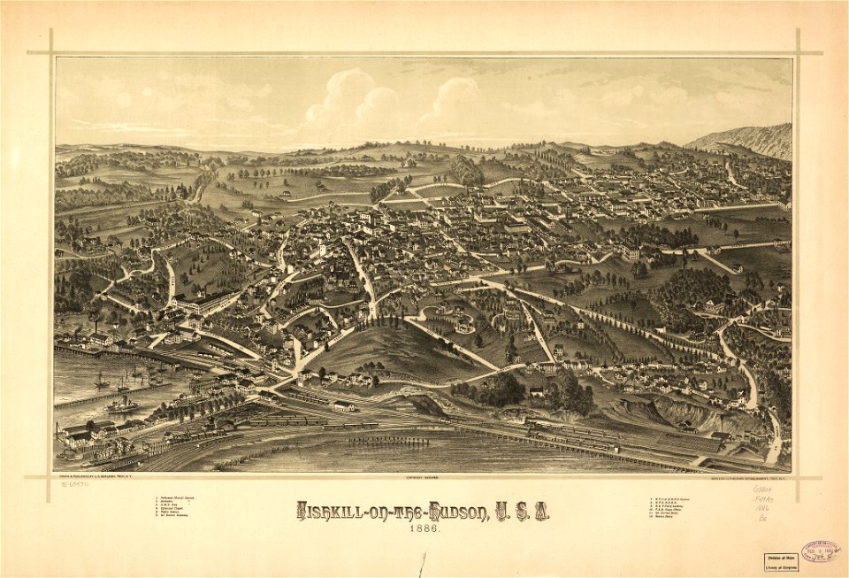
1886 maps
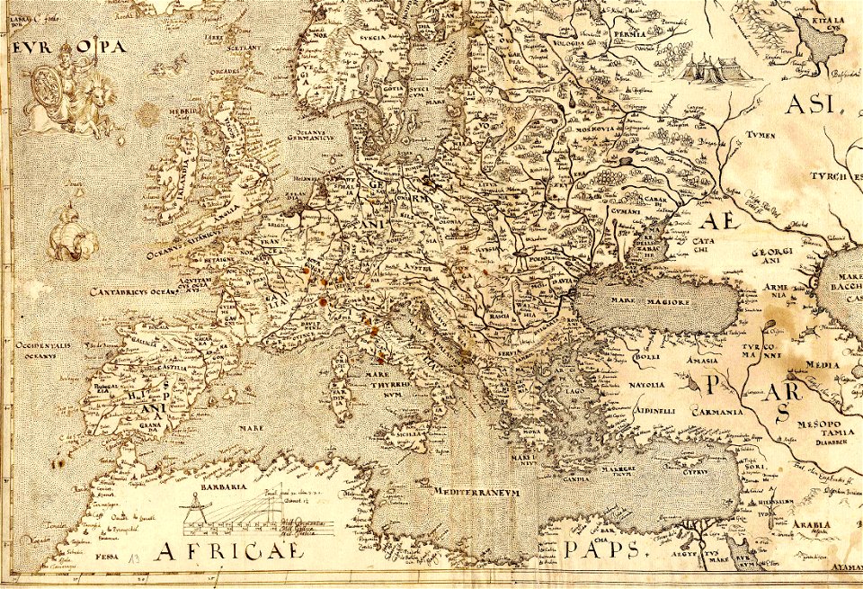
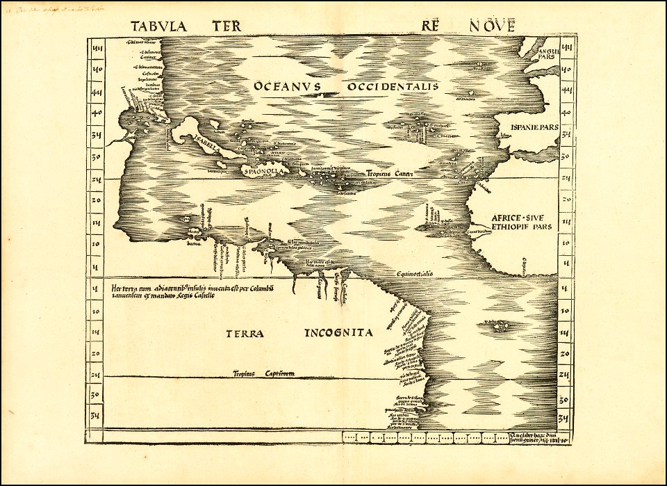
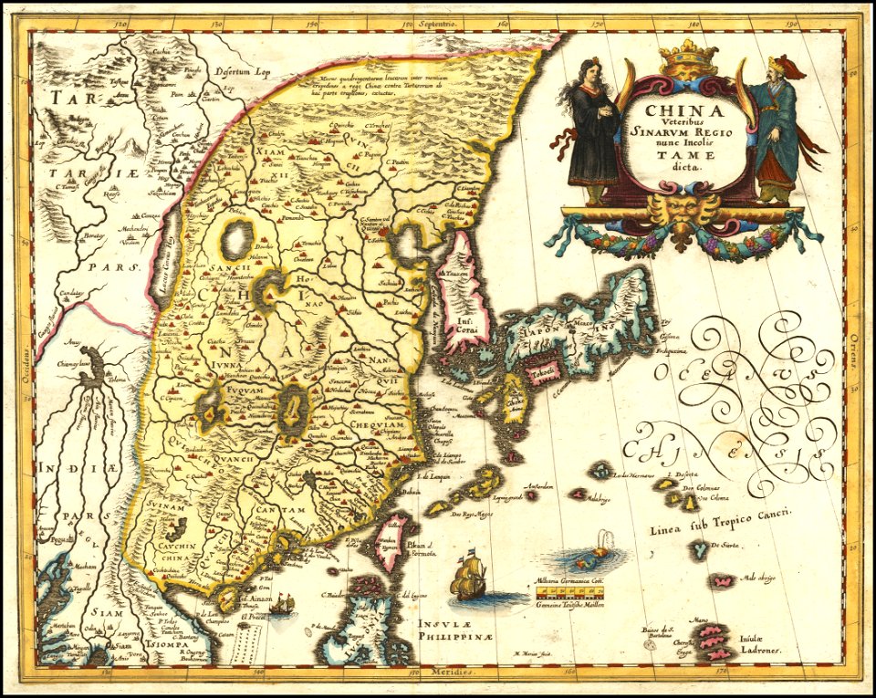
maps by sebastian münster
gerard valck
1885 maps
new york
beacon
french colonization in africa
military maps
maps in the library of congress
new york
granville
new york
maps in the library of congress
new york
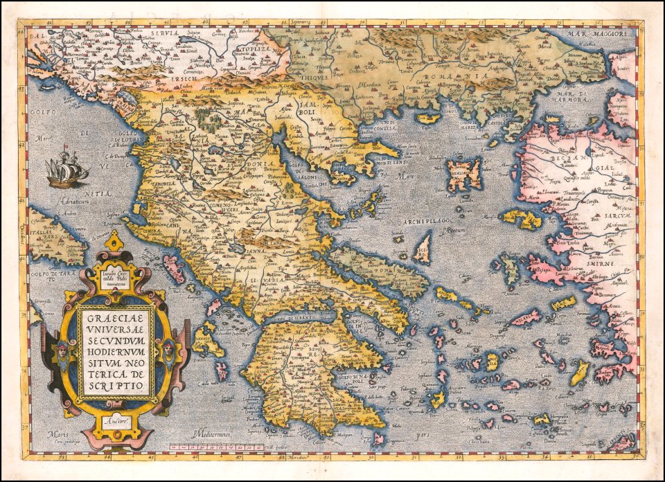
old maps of europe
1570 maps
bibliothèque municipale de reims
rès. g 152
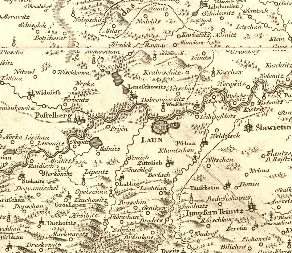
details of müller's map of bohemia
maps of louny district
bird's eye view maps of new york city
1867 maps of new york (state)
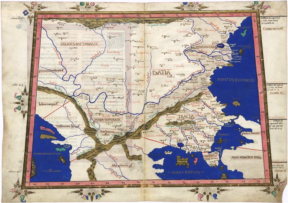
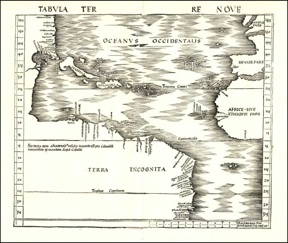
cosmographia claudii ptolomaei alexandrini
latin-language maps
charts and maps of the royal museums greenwich
1682 maps
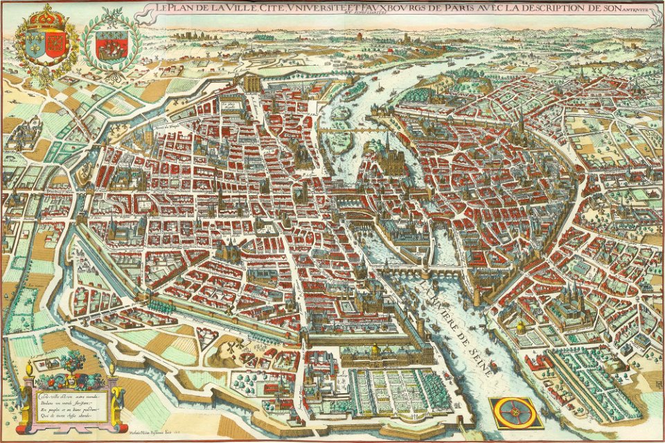
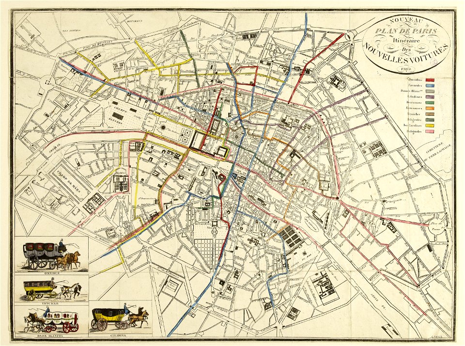
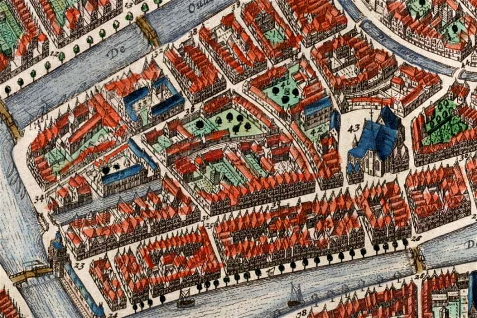
bird's eye view maps of paris
pictorial maps of paris
bird's eye view maps of paris
pictorial maps of paris
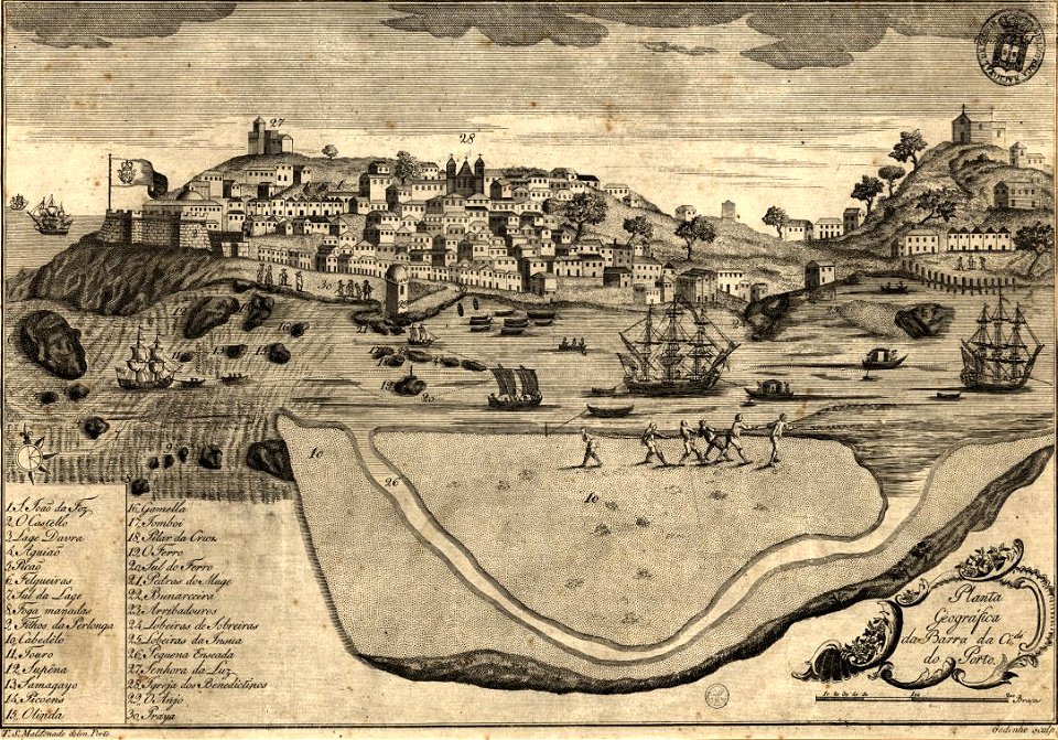
1780s maps of portugal
1789
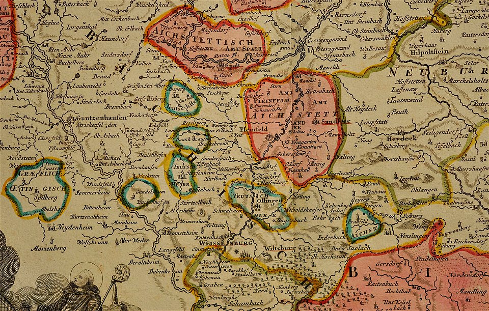
maps of the prince-bishopric of eichstätt
johann baptist homann
new york
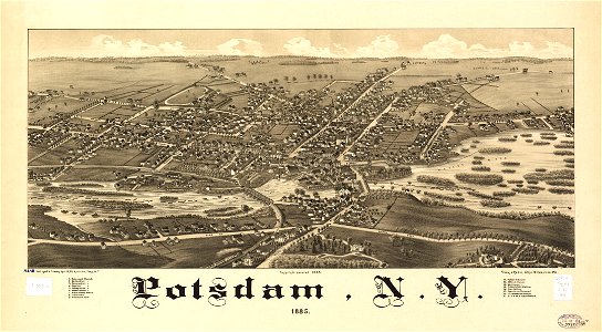
potsdam
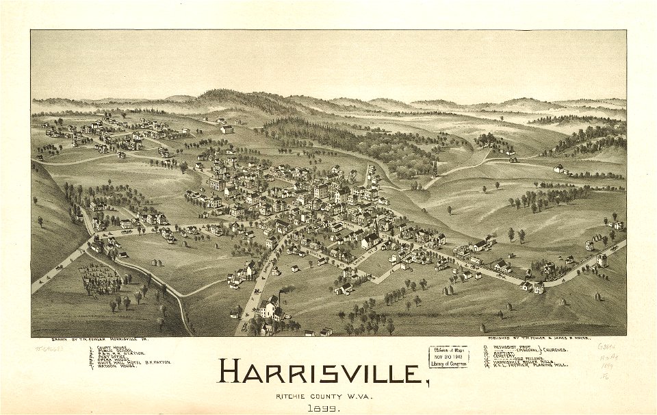
west virginia
harrisville
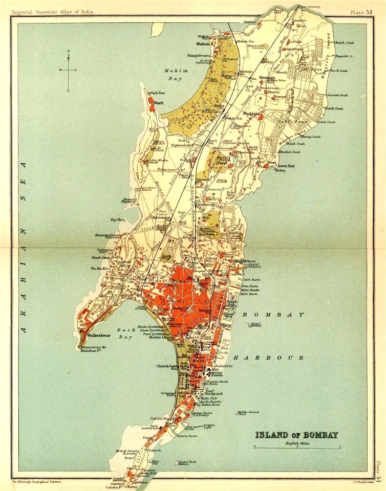
presidencies and provinces of british india
old maps of mumbai
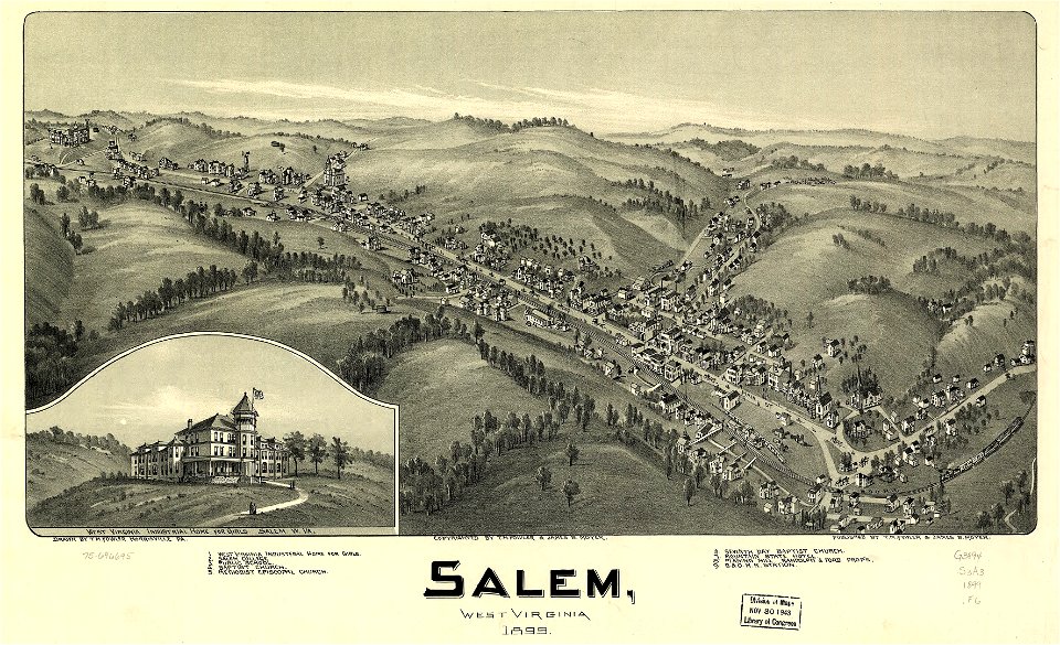
west virginia
salem
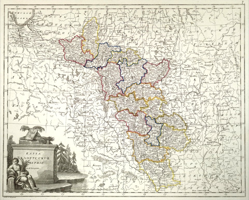
atlas of the russian empire (1800)
old maps of belarus
italian riviera
1773
schloss rosenstein
maps of stuttgart
west virginia
salem
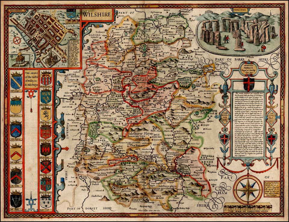
county maps of england by john speed
john speed
new york
hadley
maps in the library of congress
west virginia
maps in the library of congress
west virginia
die kunstdenkmäler des kreises konstanz (1887)
maps of baden-württemberg
old maps of the peloponnese
maps by coronelli
description de l'universe
alain manesson-mallet
maps in the library of congress
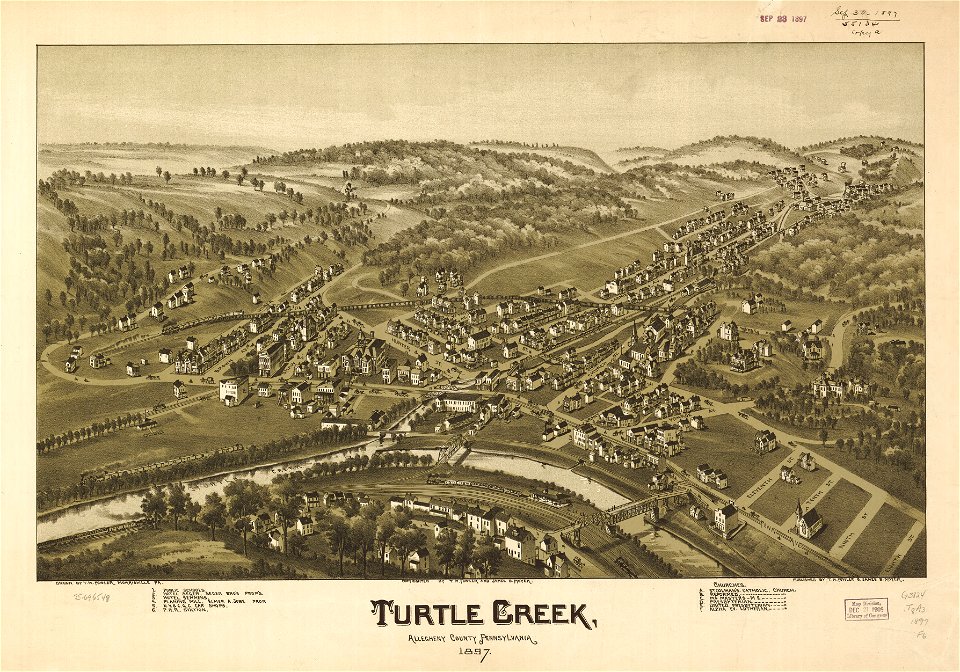
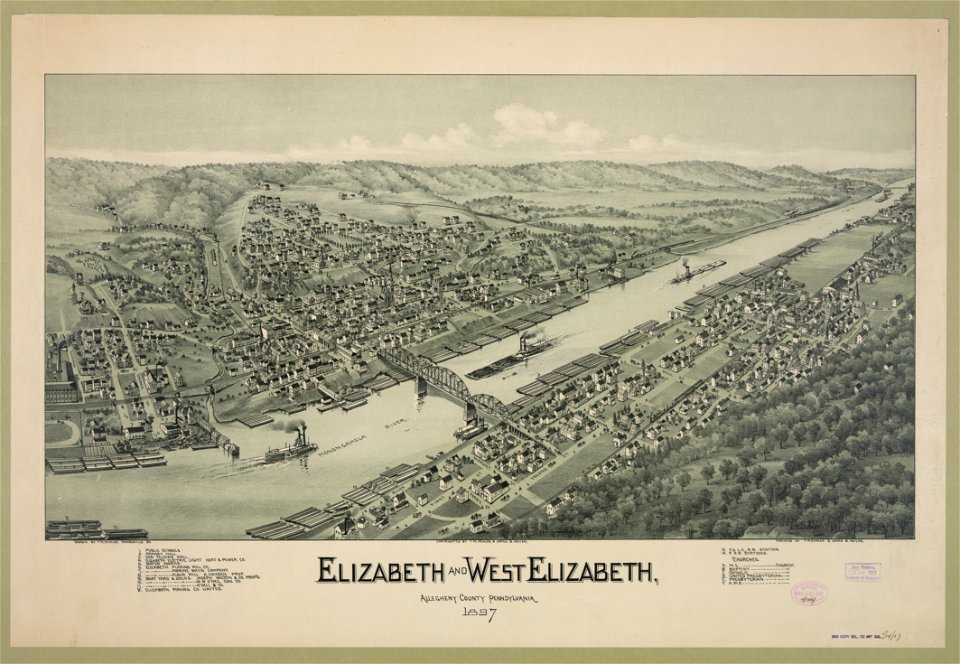
pennsylvania
maps in the library of congress
pennsylvania
description de l'universe
alain manesson-mallet
engravings by matthäus merian
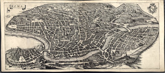
old maps of rome
giuseppe rosaccio
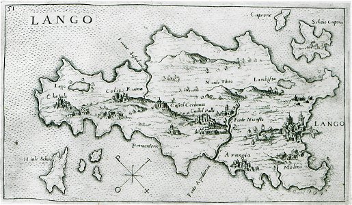
old maps of kos
volume 2 of le tour du monde
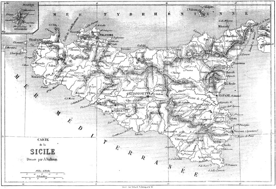
maps by alexandre vuillemin
theodor de bry
amazon
university of toronto wenceslas hollar digital collection
hollar maps and plans of london
images from the bulgarian archives state agency
maps by sebastian münster
maps of the dutch east india company - madagascar
1635
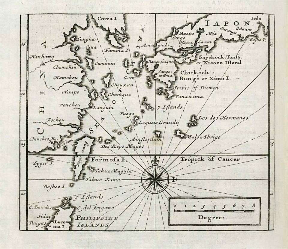
maps of the dutch east india company - japan
1732
maximilien de béthune
duc de sully
maps made in the 18th century
gerard valck
maps made in the 17th century
gerard valck
cornell university library
puritan
horse-drawn buses in paris
historical buses in paris
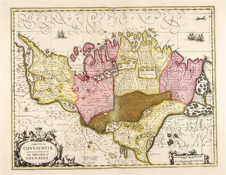
old maps of ireland
gerard valck
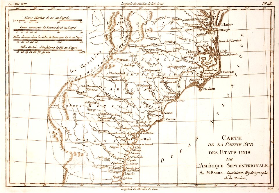
18th-century maps of north carolina
1780 maps
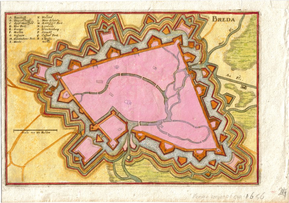
coats of arms of breda
netherlands
maps in utrecht university library
lake sentani
holy trinity with the holy spirit depicted as a dove on paintings
paintings of the holy trinity as three figures
ada lovelace by alfred edward chalon
closed mouths in art
j. c. leyendecker's saturday evening post covers
the saturday evening post, 1916
paintings by arthur streeton in the national gallery of australia
heidelberg school
maps of sweden
strängnäs
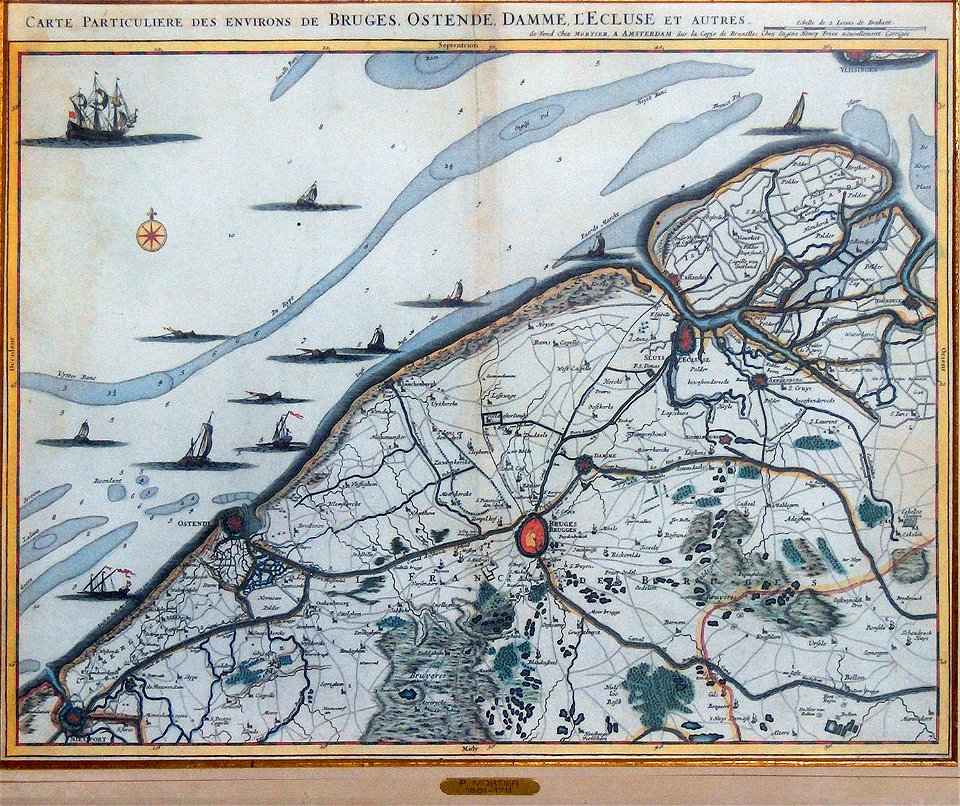
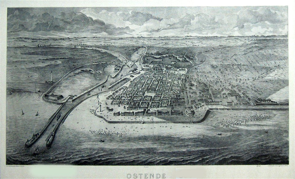
old maps of ostend
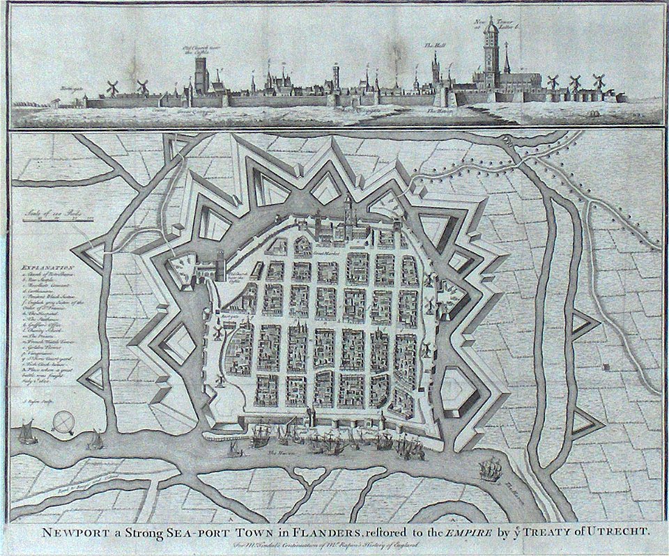
old maps of nieuwpoort
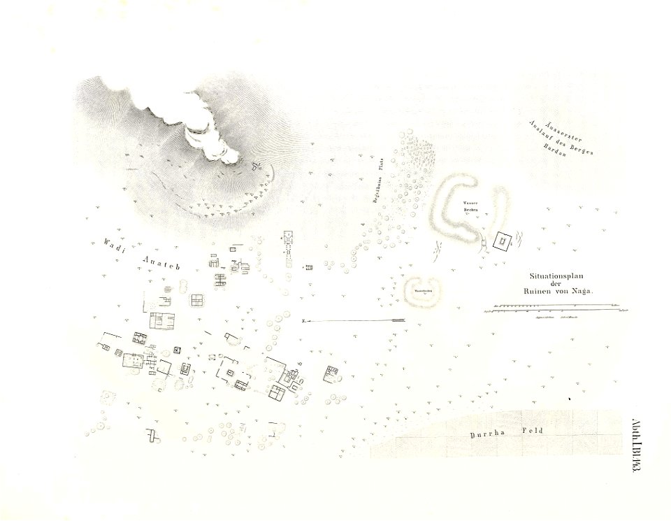
lepsius-projekt - maps
naqa
lepsius-projekt - maps
dimai
old maps of ostend
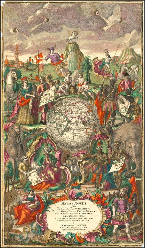
maps by matthäus seutter
maps by martin waldseemüller
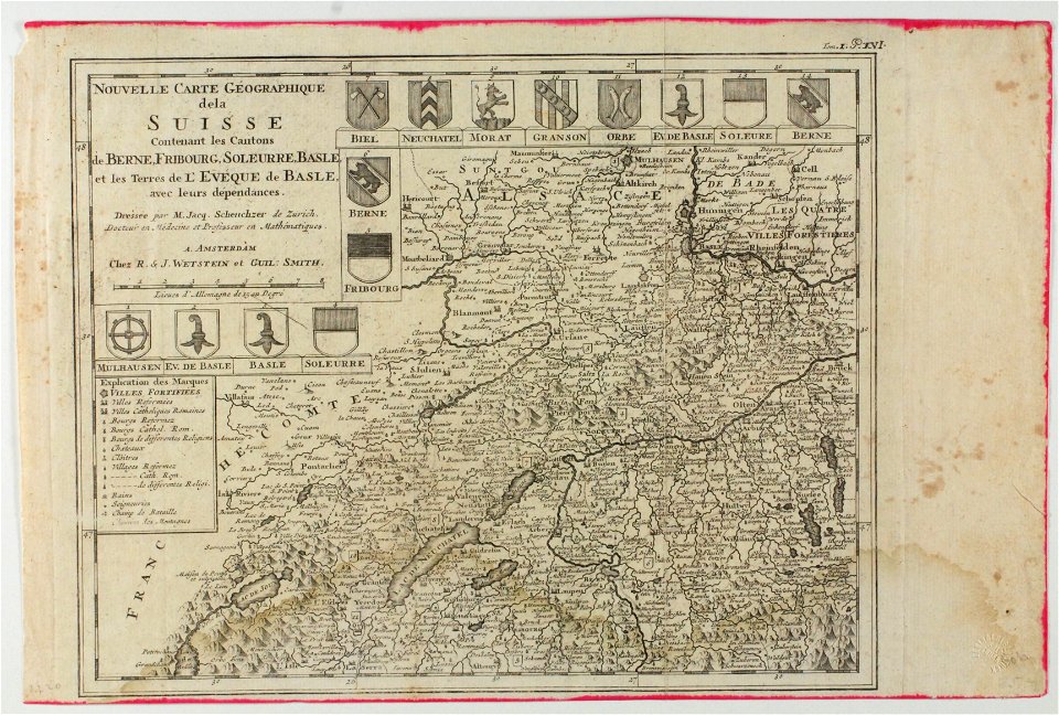
old maps of switzerland
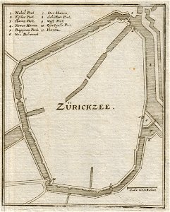
old maps of zierikzee
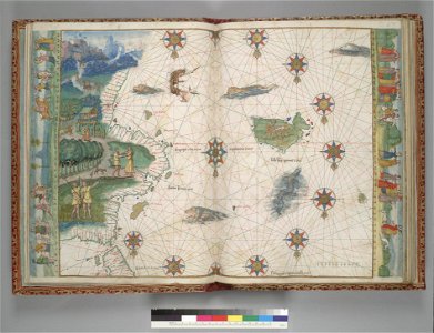
vallard atlas
1547 maps
maps by sebastian münster
maps by jodocus hondius
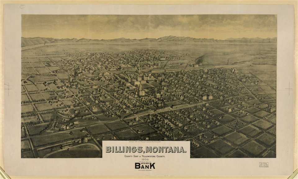
maps of billings
montana
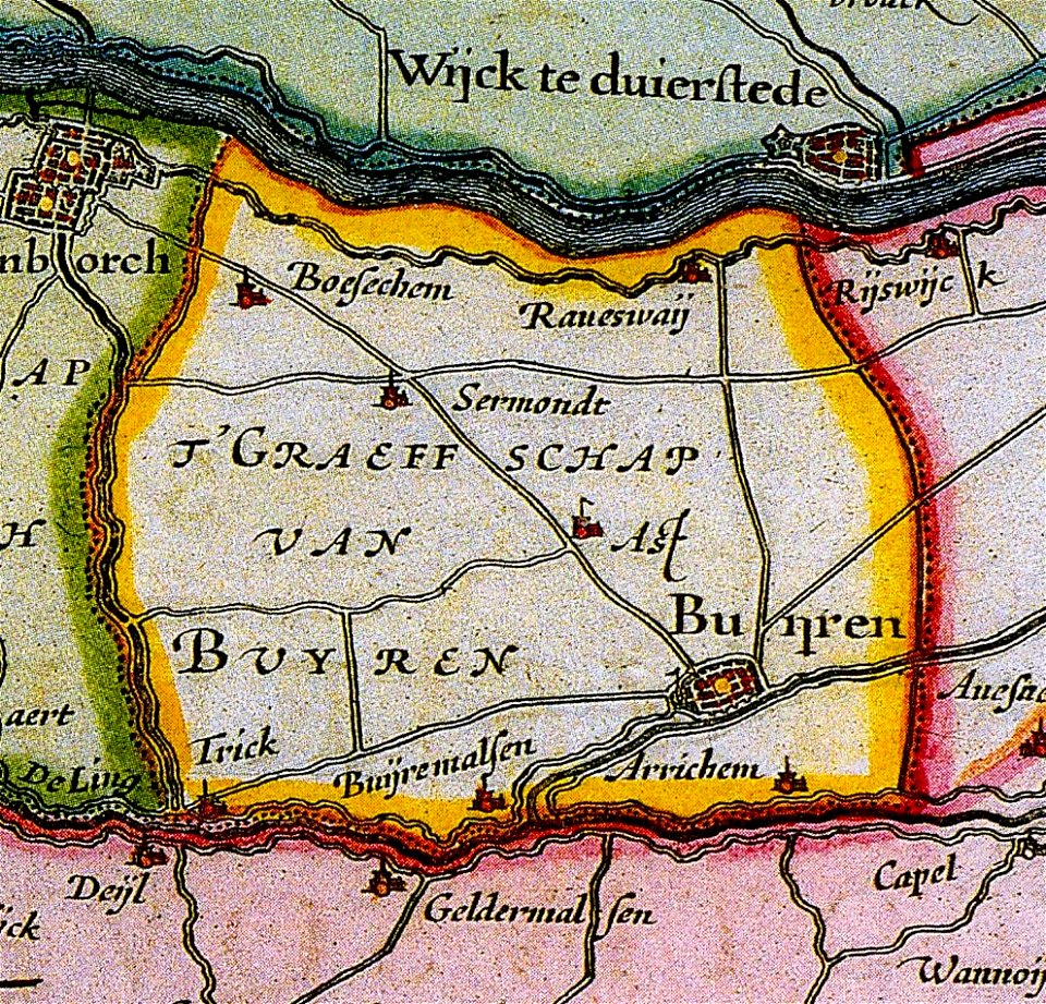
maps of buren
gelderland
maps by matthäus seutter
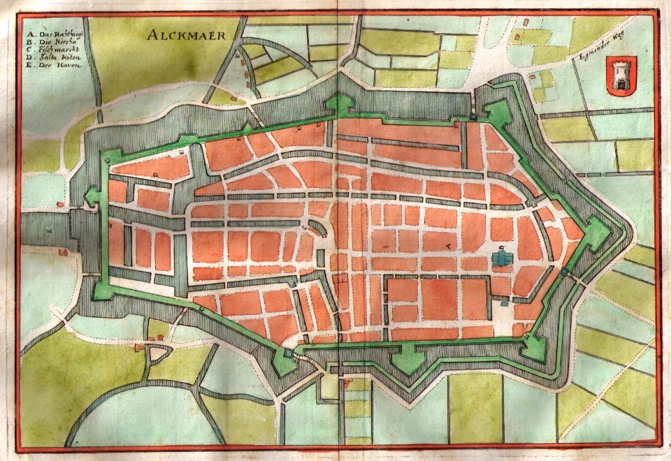
old maps of alkmaar
maps of württemberg
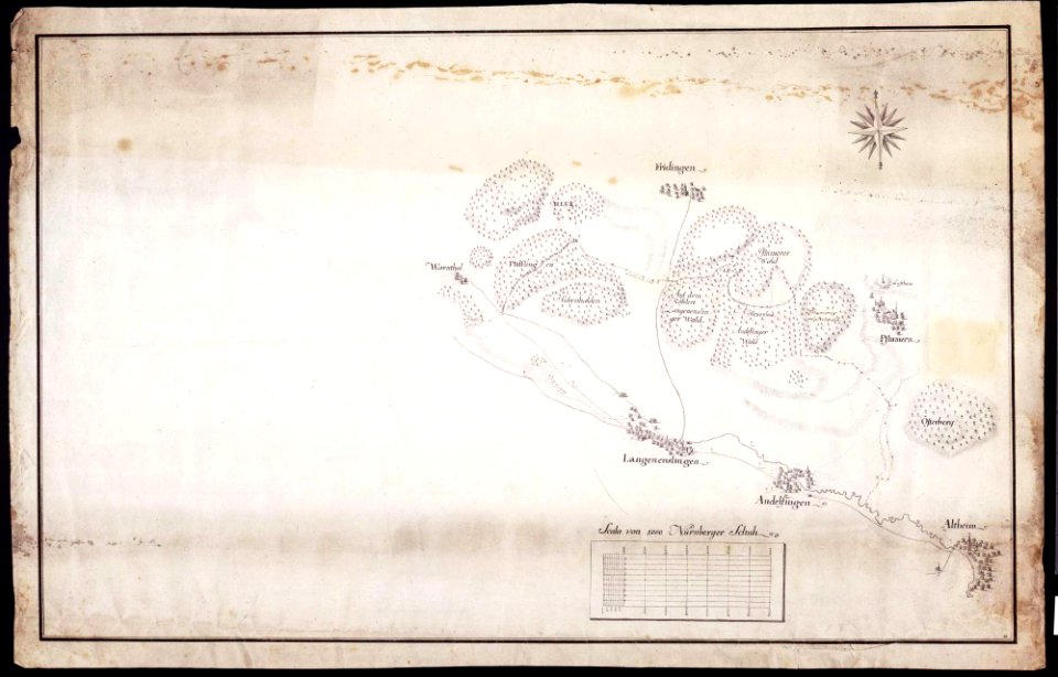
langenenslingen
maps of württemberg
langenenslingen
old maps of breda
old maps of anjouan
matthäus merian
1636 maps
maps by sebastian münster
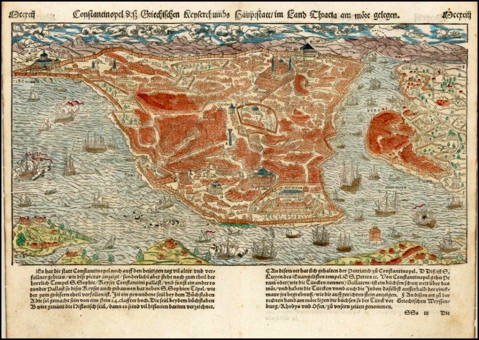
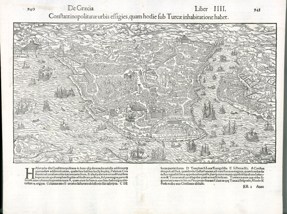
old maps of istanbul
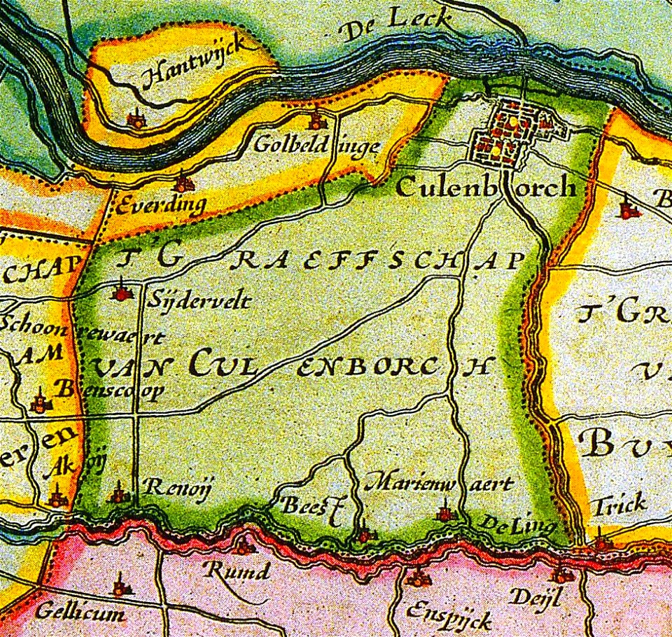
old maps of culemborg
maps by abraham ortelius
maps by martin waldseemüller
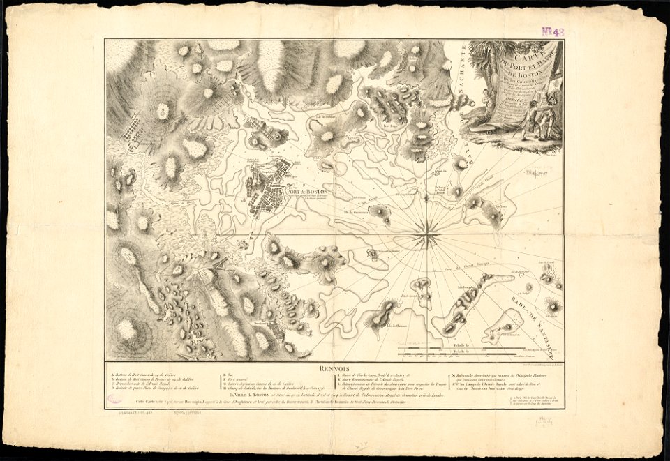
1776 maps of boston
old maps of leiden
old maps of arnhem
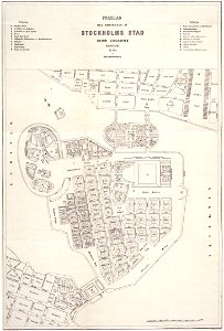
maps of gamla stan
maps of éfaté island
1897 maps of pennsylvania
maps of loiret
giens
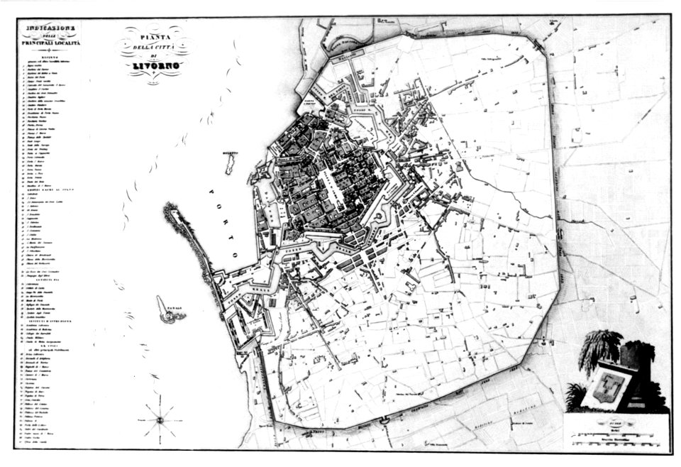
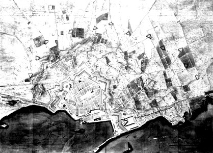
old maps of livorno
old maps of livorno
old maps of livorno
old maps of livorno
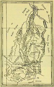
old maps of goiás
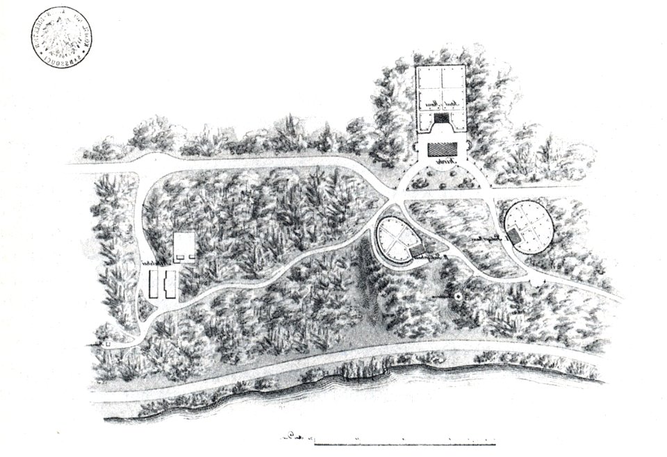
nikolskoe (berlin)
1832 maps
nikolskoe (berlin)
1848 maps
19th-century satirical maps
maps by antonio zatta
maps by antonio zatta
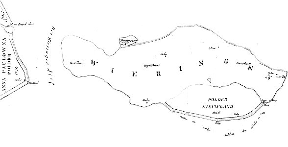
maps of wieringen
wieringen
old maps of verona
4601 - 4700 of 183,459
Next page
/ 1835